

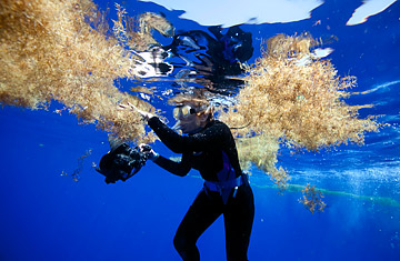
Oceanographer Sylvia Earle examines a patch of sargassum during an expedition to the Sargasso Sea, off the coast of Bermuda
(2 of 2)
What BIOS is doing, in effect, is fishing for water. When the Atlantic Explorer reaches "S," researchers prepare the CTD rosette (Conductivity, Temperature, Depth recorder), which holds 24 cylindrical bottles called Niskins in an array that looks like the bullet chamber of a very large revolver. A fishing lure connected to thousands of feet of cable, the CTD is lowered over the side of the ship and into the water. At regular intervals between the surface and more than 9,000 feet below, bottles open up and capture water at a particular depth. Sensors on the CTD record temperature and other data as the rosette is reeled out and then reeled back in, but once it's onboard, BIOS researchers will still take samples from every bottle, to confirm the computer readings. It's painstaking, laborious work — and it's expensive, since the Atlantic Explorer costs about $22,000 a day to operate.
But such trips are the only way we can build up a meaningful history of the ocean, a data set big enough to let us really know if the ocean is changing — just as the Mauna Loa Observatory in Hawaii has kept a record of changing atmospheric CO2 concentrations for decades. And just as carbon levels have been rising in the atmosphere, thanks largely to man-made greenhouse-gas emissions, CO2 levels are on the rise in the ocean as it warms as well. Ocean data matters — the oceans hold far more energy than the atmosphere. "This will tell us how the ocean is changing over time," says Knap. "Climate change is all about the oceans, not the atmosphere."
The difference is that we know a lot more about the atmosphere and land than we do about the ocean — especially the deep. Science has only really been able to regularly look beneath the surface of the ocean — which covers more than 70% of the planet — for a little more than half a century, and the reality is that our understanding of the deep is still surprisingly rudimentary. That's true whether we're talking about the species of the deep, many of which haven't even been named, or the ocean chemistry that drives much of our weather and climate. What data does exist isn't shared as well as it could be, making it difficult to understand how different parts of the ocean interact. We may know the story of Hydrostation "S," but most of the blue spots on the map are still blank to us.
The answer would be a truly global ocean-monitoring system, one that could provide enough linked data from around the planets to helps scientists construct a holistic picture of the oceans. We're taking small steps toward that goal — in addition to long-running data sets like the ones that belong to BIOS, there are thousands of small, drifting "Argo" probes around the world that measure depth, temperature and salinity. But a global monitoring system would need far more probes, along with more satellites covering the oceans, robotic and manned submarines that could explore the far depths — even geotagging of marine species. It wouldn't be cheap; such a system would likely cost in the billions. But as Sylvia Earle says, "What's really expensive is not knowing."
For now, the day we might properly understand the entire ocean system — and predict how it might change — is still to come. In the meantime, the Atlantic Explorer will keep giving us pieces of the ocean puzzle, providing clues to the enormous changes humanity is bringing about in the deep, through everything from carbon emissions to overfishing. "The ocean has a memory," Knap says on the way back to Bermuda, where the samples will be analyzed and logged. We just need to read it.